Places and Points of Interest from OpenStreetMap#
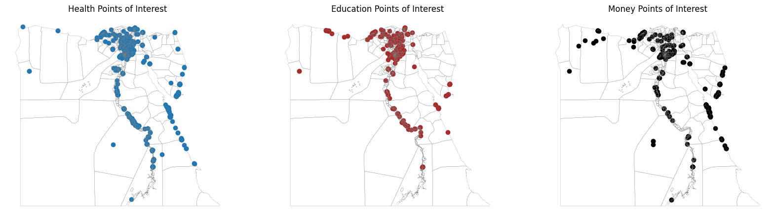
The OpenStreetMap is a community crowd-sourced open database of relatively fixed geospatial features, such as roads, buildings, points of interest, natural features, land use, etc. While not an exhaustive resource, Open Street Map points of interest are a useful first pass at identifying concentrations of activity – e.g., financial services, health facilities, education facilities, and others. The following three maps show concentrations of identified points of interest for select sectors in Egypt.
Show code cell source
import matplotlib.pyplot as plt
fig, ax = plt.subplots(1,3,figsize=(20,8))

pois[pois['poi_class']=='health'].plot(ax=ax[0])
egypt_adm2.boundary.plot(linewidth=0.2, color ='grey', ax=ax[0])
ax[0].set_title('Health Points of Interest', fontsize=12, ha='center')
ax[0].axis('off')

pois[pois['poi_class']=='education'].plot(ax=ax[1], color = 'brown')
egypt_adm2.boundary.plot(linewidth=0.2, color ='grey', ax=ax[1])
ax[1].set_title('Education Points of Interest', fontsize=12, ha='center')
ax[1].axis('off')

pois[pois['poi_class']=='money'].plot(ax=ax[2], color='black')
egypt_adm2.boundary.plot(linewidth=0.2, color ='grey', ax=ax[2])
ax[2].set_title('Money Points of Interest', fontsize=12, ha='center')
ax[2].axis('off')
(24.083797605650062, 37.519417371350045, 21.515570128300077, 32.15383756370003)
Combining Relative Wealth Index and OpenStreetMap Points of Interest#
Fig. 12 The map above is interactive. By clicking the “eye” icons on the map, the user can explore either the locations of different points of interest or the locations of welath concentrations (or both, overlaid upon each other).#