How Private-Sector Data Can Inform Decisions for Sustainable Cities
by Development Data Partnership TeamJba Mapbox Veraset Urban Development Disaster Risk Management
Decisions made in cities shape where people live, how they travel, which services they can reach, and how exposed they are to climate and other risks. As urban areas grow and change, policymakers must decide where to invest limited resources, how to manage development, and how to respond to emerging challenges.
Observed annually on October 31, World Cities Day draws attention to sustainable urban development and efforts to improve life in cities. City authorities need reliable information about current conditions, including how land is being used, where communities face the greatest risks, and whether urban interventions are producing their intended results.
Official statistics, administrative records and other public data provide an essential foundation for urban planning. Private-sector data can complement these sources with more detailed or frequently updated information.
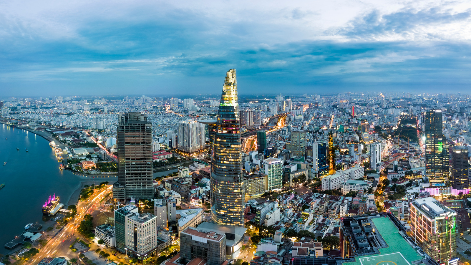
The following projects supported through the Development Data Partnership illustrate how private-sector data was leveraged at different stages of urban planning, from understanding land use in Amman to identifying flood risks in Itahari and evaluating neighborhood interventions in Bogotá.
Understanding how neighborhoods function in Amman
Amman’s population has more than doubled since 2000, fueled partly by regional conflicts that led to large refugee inflows. This growth has strained the city’s planning systems and contributed to a mismatch between officially designated land uses and how neighborhoods function. To examine these differences, a World Bank study used anonymized and aggregated smartphone location data from Veraset, accessed through the Development Data Partnership. Researchers analyzed data covering January to September 2023 and compared observed patterns of urban activity with official land use maps.
The analysis suggested that one third of areas officially classified as residential functioned as mixed use areas. Locations outside formally zoned areas also displayed patterns associated with residential, retail, recreational and other activities. The study proposed establishing an urban observatory, regularly updating land use plans, involving residents in zoning reforms and recognizing the economic and social roles of informal areas. Its methodology also provides a replicable framework for examining urban activity in other cities. Discover more.
Identifying flood risks and nature-based responses in Itahari
Rapid urban growth in Itahari, Nepal, has increased the city’s vulnerability to recurring floods, which have damaged infrastructure, homes and livelihoods and contributed to economic losses, health risks and displacement. The World Bank used JBA’s Global Flood Maps to assess flood risks and identify high-hazard areas. The data supported the initial identification of potential nature-based solutions through an Opportunity Scan and informed the development of a technical assistance proposal.
With technical input from Royal HaskoningDHV, city planners and experts validated high risk areas, verified the findings and improved hydraulic modeling. The team assessed a catalog of 45 locally relevant nature-based measures for feasibility and effectiveness. Following data analysis, field visits, and stakeholder consultations, the team evaluated a shortlist in detail and developed it into a package with implementation guidance and cost estimates. The flood maps enabled the World Bank team to prioritize investments in nature-based solutions, which are expected to reduce flood risks, protect critical infrastructure and support a healthier urban environment. Find out more.
Assessing neighborhood interventions in Bogotá
Bogotá introduced its Vital Neighborhoods Strategy in 2021 to reduce through traffic within neighborhoods, simplify the bus network and provide low-speed urban spaces. The World Bank supported the city in assessing the strategy, including pilot interventions in the San Felipe neighborhood. The evaluation combined several datasets, including Mapbox traffic data accessed through the Development Data Partnership, to examine changes in mobility patterns.
The analysis reported lower average speeds within San Felipe and on surrounding roads between 2021 and 2022. The wider evaluation found that while overall road accidents decreased by approximately 47 percent in 2023 compared with 2019, serious accidents increased by about 30 percent between 2021 and 2022. This difference indicated the need for more detailed analysis to identify possible infrastructure improvements. The World Bank team also proposed institutional and governance arrangements, along with a management model with financial and operational mechanisms, to support the strategy’s longer-term implementation. Learn more.
Supporting cities through data partnerships
The three projects show how different forms of private sector data can support sustainable urban development. Veraset location data helped researchers examine how neighborhoods in Amman function beyond their official classifications. JBA flood maps helped identify high-risk areas and prioritize potential resilience measures in Itahari, while Mapbox traffic data contributed to the evaluation of neighborhood interventions in Bogotá.
As cities face complex and changing challenges, private sector data can help policymakers better understand urban conditions and make decisions that support sustainable urban development.